SoilSCAPE
Soil Moisture Sensing Controller And oPtimal Estimator Project at USC
The reliable and consistent measurement of soil moisture is important for a variety of fields spanning agriculture to weather prediction.
The SoilSCAPE (Soil moisture Sensing Controller and oPtimal Estimator) project aims to address the need for information on soil moisture by providing:
- Local scale estimates of soil moisture at high (<1 hour) temporal resolution.
- Validation data with which to evaluate the accuracy of soil moisture estimates from remote sensing data at the regional (airborne) and national (spaceborne) scales.
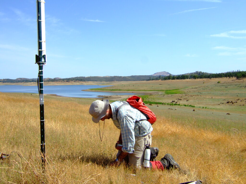
These aims are being addressed by the installation of wireless sensor networks, recording soil moisture, at a number of sites. The optimum placement of the nodes, and scheduling is determined through modeling as part of the Control System element of the project.
Each sensor measures soil moisture at a point, to scale these estimates up to a regional level hydrological models, which incorporate additional data (soil type, topography, precipitation etc.,) to produce local scale estimates of soil moisture.
Soil moisture measurements are being used as part of the validation data for two NASA missions an airborne mission currently flying (Airborne Microwave Observation of Subcanopy and Subsurface Mission; AirMOSS) and a spaceborne mission planned for launch in 2014 (Soil Moisture Active Passive; SMAP). Both of these sensors estimate soil moisture using microwaves.